
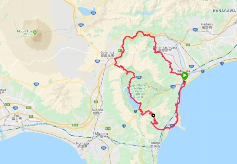
After a week of cold and wet weather, a fine day was forecast, so Anna and I headed to Odawara for a ride in the Fuji Hakone Izu National Park. The plan was to do a complete loop of the mountains on quiet roads. We met at Odawara station where Anna parked her car and I left my rinko bag in a locker. We would have to get back to Odawara before dark.
We set off past Odawara Castle and soon picked up unmarked Route 740 which runs parallel to the main coast road. Here is the turn-off on Google Maps, and here is an image of where you take the road up to the right. It is difficult to see on maps, but the old road winds all the way to Yugawara via Manazuru. Riding slowly on an empty road with fantastic views of Sagami Bay was a great way to start the day.
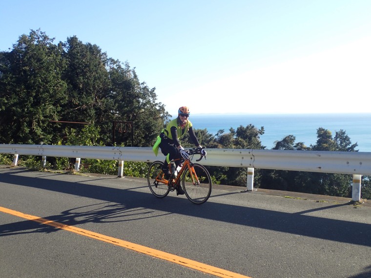 Odawara-Yugawara old road
At Yugawara, we cycled along the beach where surfers were riding waves under the toll road. It is hard to know what goes through the minds of planners who build a road on concrete pillars sunk into the whole length of a beautiful beach. We soon left behind this sorry sight, as we took Route 75 westwards and upwards through Yugawara Onsen. I am familiar with this road as it is host to the annual Yugawara Orange Marathon, a misnamed 10 km held after the end of the orange season. At least it is in Yugawara. As we climbed up the 75, past steaming spas, I was glad not to be putting my poor body through that 5 km descent this March.
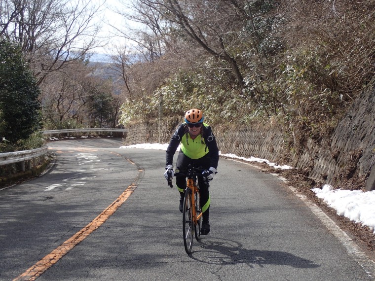 The long climb up Route 75
At Seiranso Ryokan, the road forks, with the main road continuing on to the Yugawara Parkway, while the old 75 cuts back to the right and winds its way to the ridgeline high above. I cycled this road a year ago after the Orange Marathon, but on that Sunday the ride was spoilt a little by motorcyclists racing up and down the hairpin bends. Today, we had the road to ourselves. We gradually climbed, side by side, with only the very occasional car breaking the silence. At Tsubakidai, there is a car park and toilet and a panoramic view of the Pacific Ocean. It was so clear we could see across to Chiba in the east, and Niijima to the south.
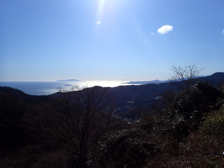 Oshima and distant Niijima viewed from Tsubakidai
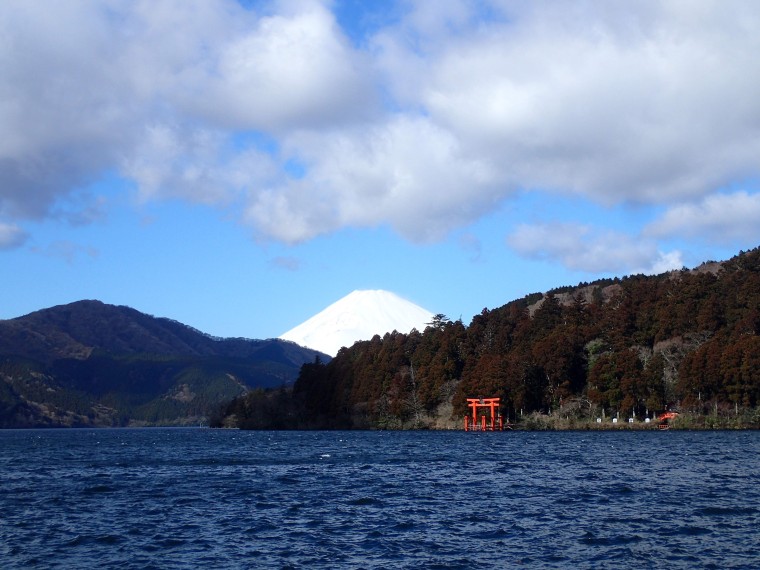
From there, the air started to get cooler, and snow was piled on the roadside. We climbed without a stop to the ridge where Daikanzan Observation Deck offers amazing views across Lake Ashinoko with its backdrop of Fuji-san in full winter dress. We didn’t hang around as it was chilly. A roadside thermometer read 4C as we descended to Ashinoko on a road running with snowmelt.
 Daikanzan Observation Deck, cloud-shrouded Fuji-san
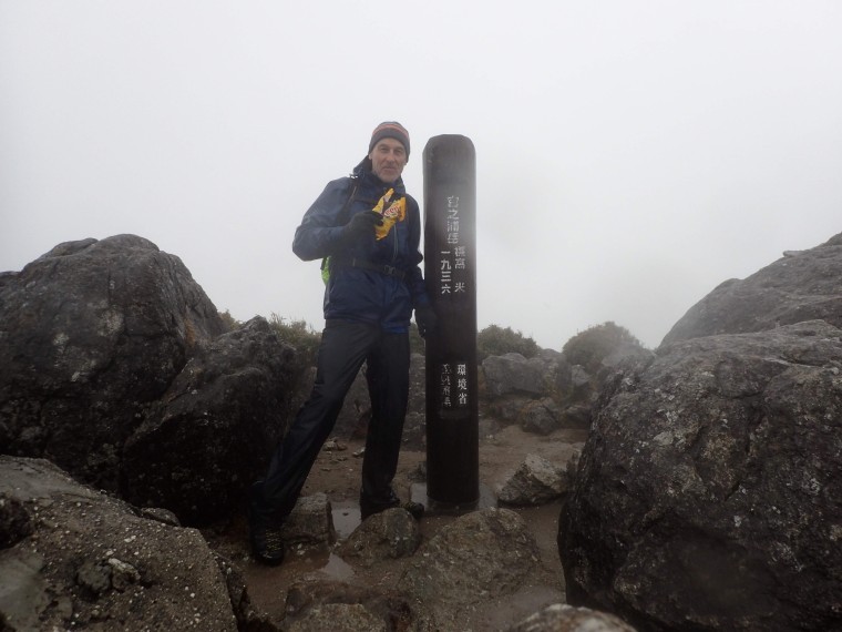
 The classic selfie shot, unspoilt by a selfie
At the lake, we picked up Route 1 for a short way through Moto Hakone, and then turned off on to Shrine Street which follows the north shore. Despite the cold, there were many tourists snapping shivering selfies by the lake. We continued to Hakone-en cable car station where the regular road ends, but a cycling road continues along the lake. It was covered in leaves and twigs but it’s a really nice 3 or 4 kilometre ride all the way to the north end of the lake. There we rejoined Route 75 and started to search for a place to eat.
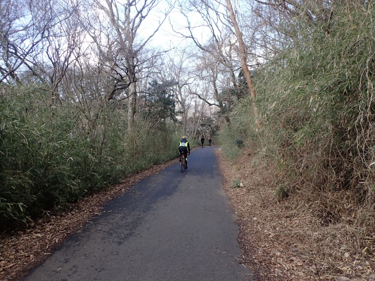 Cycle path around Ashinoko
Just as I was starting to regret having eschewed the tourist restaurants by the lake, we came across a splendid little soba place called Horiyoshi. It is run by two smiling elderly gentlemen who showed us to a table with a smouldering irori fire, and then threw another couple of logs on the wood stove. It was a great place to first warm up and then fill up on their delicious moritoro udon. Outside the restaurant, we noticed a TV in the food display window showing PM Abe addressing the Diet. A curious way to promote a healthy diet.
After lunch, we joined Route 138 north-west towards Gotemba and its famous Fuji views and outlet malls. We had originally hoped to take the old Route 736 up to the pass, but time forced us to use the one-kilometre tunnel through the mountain. It wouldn’t be much fun on a weekend, but we raced through with barely another vehicle in sight to emerge at a much snowier north side of the mountain. Mt Fuji was now free of clouds and dominated the whole scene.
Just below Fujihakkei Hot Spring, we turned off right, and then took a tiny road to the left of a golf course. We emerged in Gotemba, went under the Tomei Expressway, and then turned right at tiny Yamano Shrine. We followed the Ayuzawa river on yet another quiet, picturesque road until Route 78 which would take us back to Odawara. Only it wouldn’t. As we cycled up a short hill to the 78, a traffic guard flagged us down. The road was closed. It was blocked by landslides caused by Typhoon 19. I knew that the Hakone mountain railway had been closed since the typhoon, which had dropped a metre of rain on the area in 24 hours, but I had no idea that it had affected this key road – well, key to us getting back to Odawara. The guard suggested we cycle back the way we had come, but the idea of riding up the roads we had just freewheeled down was too much to take. Instead we got out our phones and let Google Maps do the work.
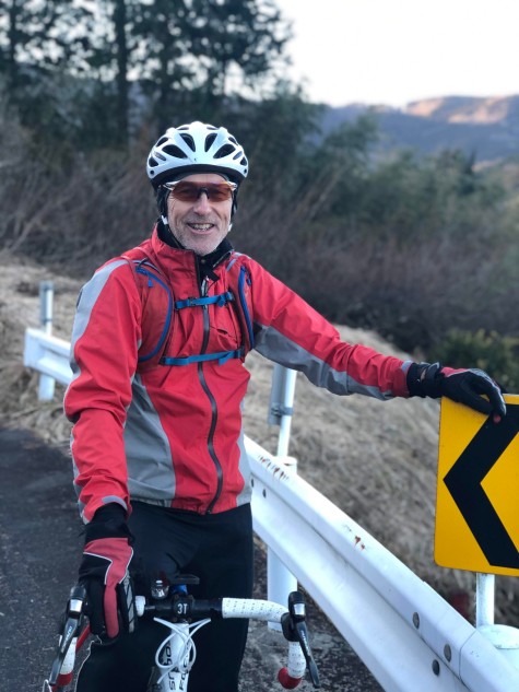 Never happier than on a bike
We decided to ride east as far as Yamakita and then south to Odawara on the 726. The only problem was Route 246. To get to Yamakita, we would have to take at least a part of this notoriously busy truck route. Fortunately, we managed to avoid most of it by taking a minor road which follows the Gotemba train line. However, just before Yaga, we had to brave the trucks thundering within inches of us for a couple of kilometres. At Yaga, we picked up the old road – Route 76 – which freed us from the threat of sleep-starved truckers. We soon found ourselves on a deserted road which runs through the forests on the east slopes of the Hakone mountain range, linking up farms and villages that dot the hillside. Below us was the broad expanse of the Sakawa River valley with its towns and factories, and in the distance the snow-capped Tanzawa mountains illuminated by the last of the winter sunlight. It was a hard way to finish the ride, as the road is constantly up and down, but it felt good to complete the loop in the way we had done all day – by riding on beautiful, quiet roads. It had been a day of perfect cycling.
 Garmin data for the route here
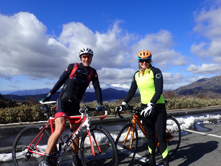
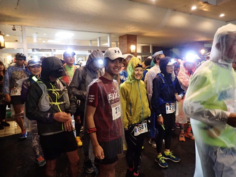 Harrison and Sarah at the start
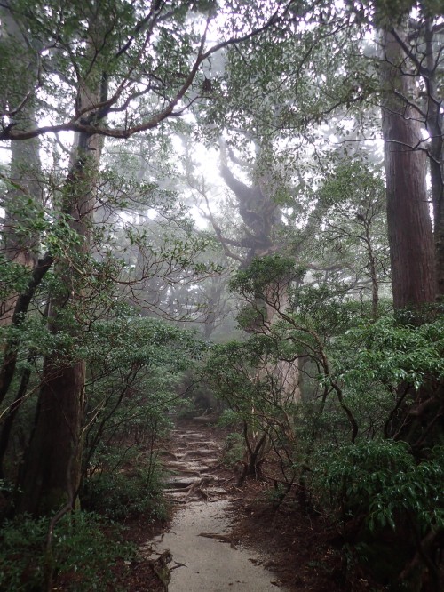
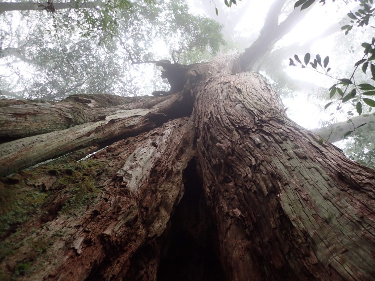
 Mt. Miyanouchi-dake
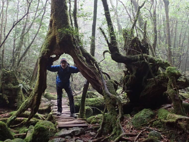
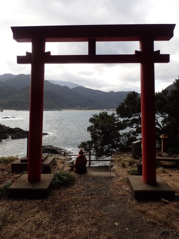 Yahazudake Shrine